Back to Custom Map-Making
Custom Illustrated Maps
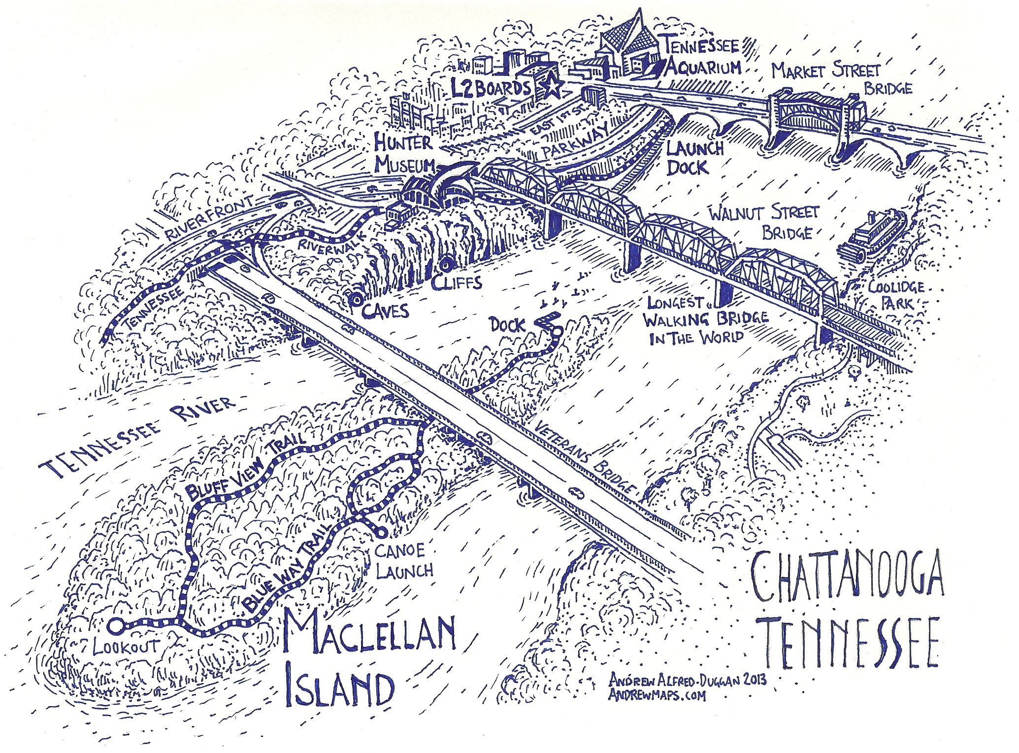
Example map –
Contact me directly to discuss your Custom Illustrated Map – For whatever purpose you might need….
Reasonable Rates apply generally for the time the map takes to create. $200 – $500 approx

Related products
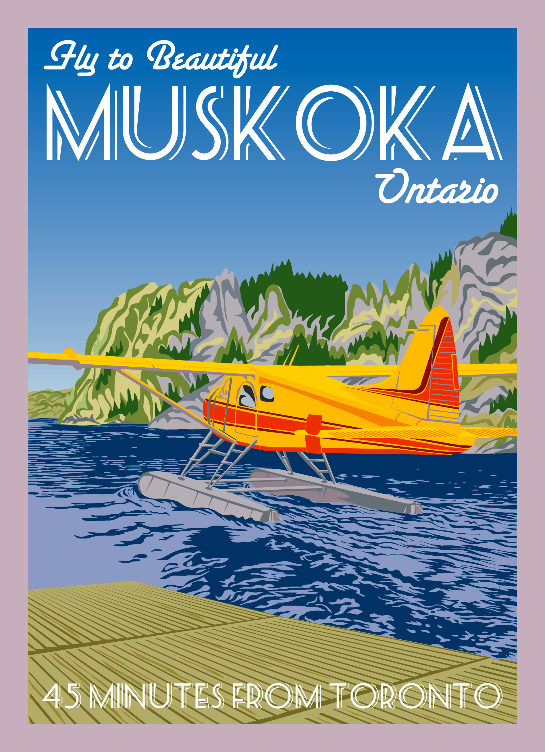
Muskoka Float Plane Retro Print
A vintage-themed poster capturing the beauty of Muskoka, Ontario. The Computer hand-drawn image can be printed on photo paper or canvas.
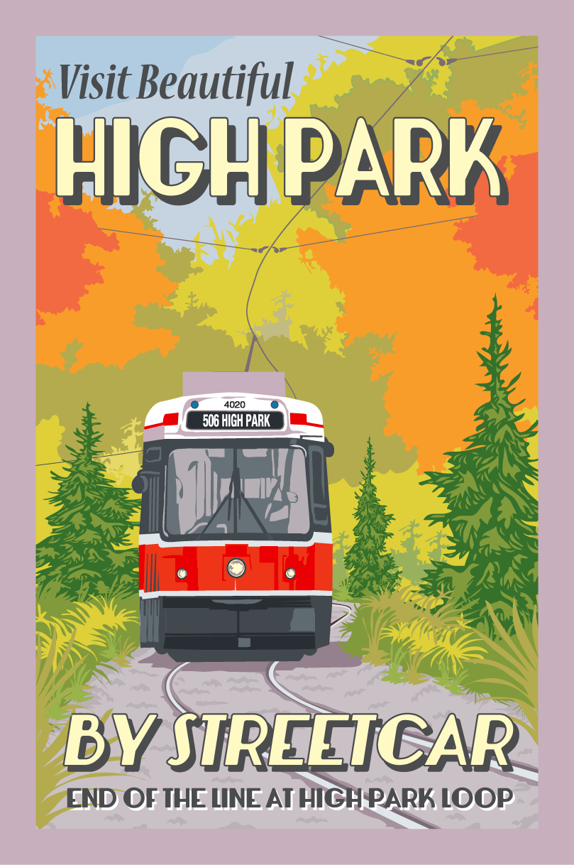
High Park Toronto Streetcar Autumn Retro Print
A vintage-themed poster capturing the beauty of classic streetcars in Toronto's premier urban park. The computer hand-drawn image can be printed on photo paper or canvas.
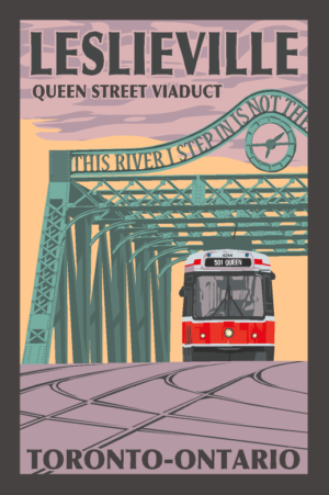
Toronto Queen Street Viaduct Leslieville Retro Print
A vintage-themed poster of Queen Street's iconic Don River Bridge. The computer hand-drawn image can be printed on photo paper or canvas.
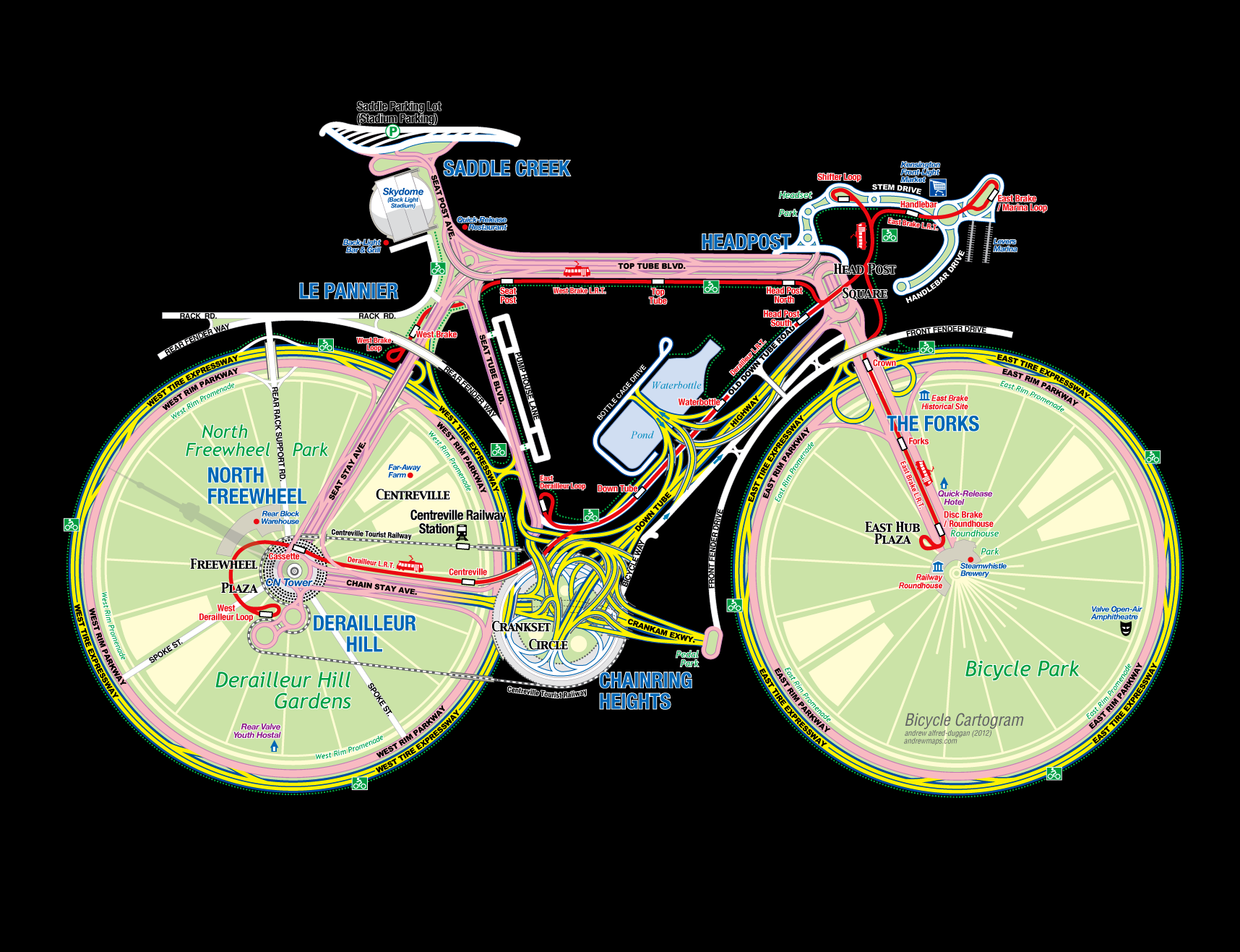
Bicycle Cartogram Custom Cartography Map
This Bicycle Cartogram builds an imaginary city space in the shape of a bicycle using a common city-map template. Under close examination, the bicycle is less evident revealing an urban form more congruent with a normal city-map. The idea stems from urban infrastructure that we might believe is lacking, and longed for. This is definately the case in Toronto.